 ArcView Tutorial 2: Creating Access Maps ArcView Tutorial 2: Creating Access Maps
Creating Access Maps
Your first task is to determine what your purpose is and what information you need.
What sort of map you will be creating and what sort of information will you need to accomplish this task? There will be a list of useful coverages in Appendix I. What are you trying to show with this map? What info do you need to include? There are examples of the Karluk maps in the Appendix as well.For this Access map you will need general physical information such as the
coastline, lakes, and rivers as well as land status and easement info. The
creation and addition of these themes will be the objective here.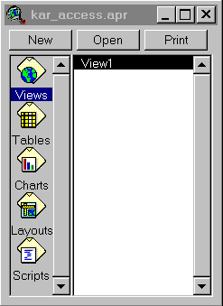
Creating a folder to store the project
Open ArcView. 2x on the icon or go to Start: Program Files: ESRI: ArcView.
Saving the project file
Continue with Tutorial
Previous item in Tutorial
Return to ArcView Tutorial 2: List of Topics
Return to Main Menu